It’s Memorial Day weekend, AKA the unofficial start of summer. I hope that no matter what you are doing, you have been enjoying yourself thus far and have a wonderful Memorial Day tomorrow. I also hope that you remember the true reason for the holiday and keep in your heart the memory of those whom have died while serving in the armed forces.
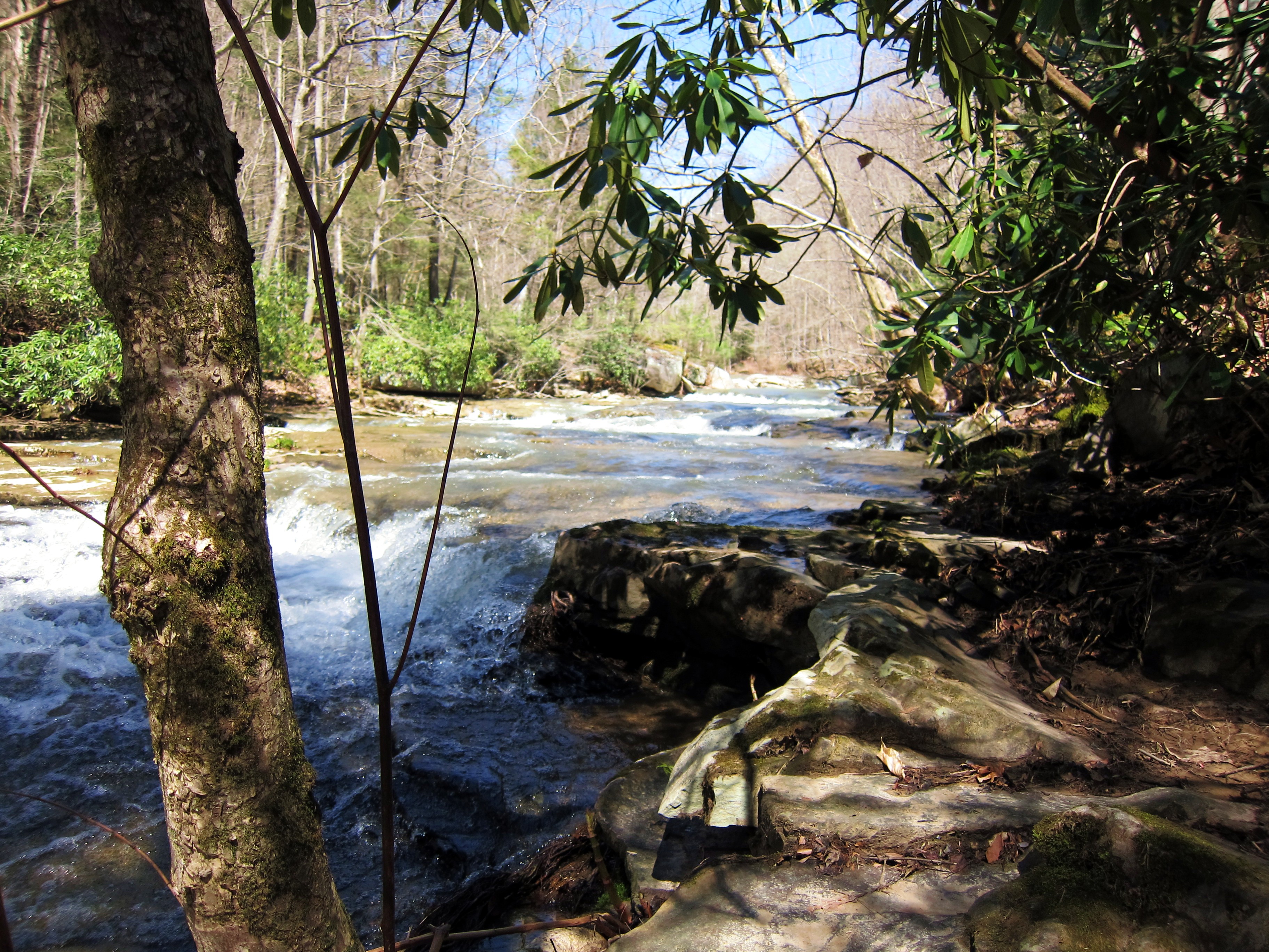
To celebrate Memorial Day and take advantage of a three-day weekend for me, Jon and I decided to head to the hills for a day of geocaching. With our headquarters in Summersville, we drove to Pocahontas County on Saturday and spent most of the day geocaching and trying to complete the Birthplace of Rivers Geocaching Challenge. Our day was perfect and the views were some of the best I’ve ever seen along the Highland Scenic Highway. Geocaching was just a bonus!
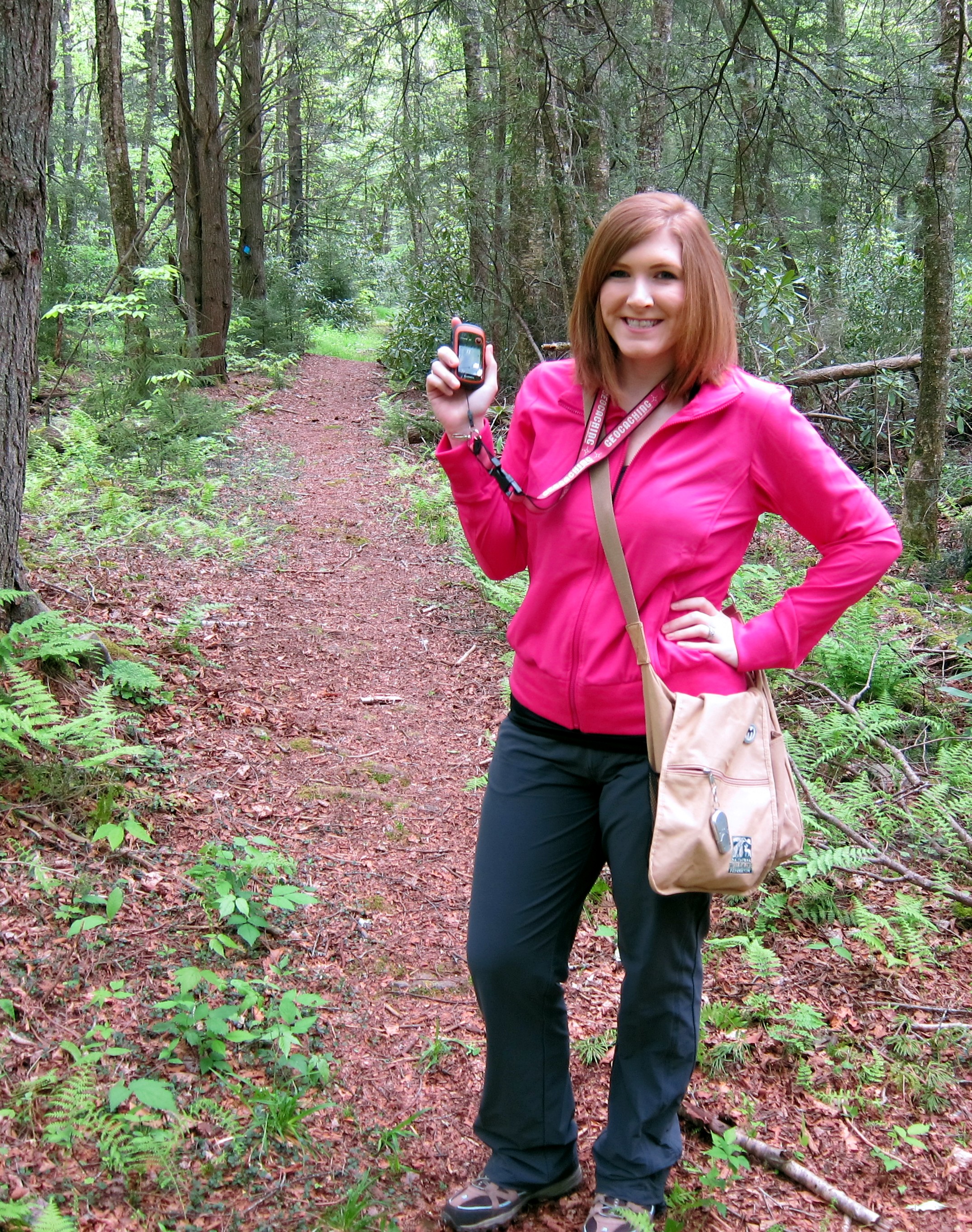
Ready to go geocaching! My GPS, swag bag, hiking boots — I’m good to go.
The latest geocaching challenge from the Pocahontas County Convention and Visitors Bureau, the Birthplace of Rivers runs May 1 – October 31, 2015 and celebrates the eight (yes — EIGHT) rivers that originate in the county. These rivers are the Cherry, Cranberry, Elk, Gauley, Greenbrier, Shavers, Tygart, and Williams. Caches are hidden along each of these rivers and in addition to traditional trade items, contain colored stickers that correspond with a space on the official challenge Bingo card. To complete this challenge, you must download the Bingo Card and collect a minimum of four colors in a row to Bingo. Although there are eight caches in this series, it is entirely possible to only visit four and still Bingo (but why not visit them all?!). Once you’ve gotten a Bingo, you can turn in your card and receive one of 100 limited edition geocoins. As an added perk, if you stay in the county while doing so, you can bring your lodging receipt with you and enter for a chance to win a kayak. We visited five caches before we had what we needed to get a Bingo.
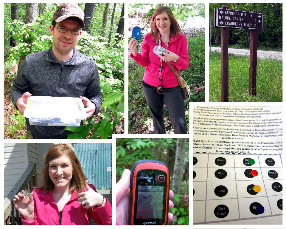
Snapshots from our day
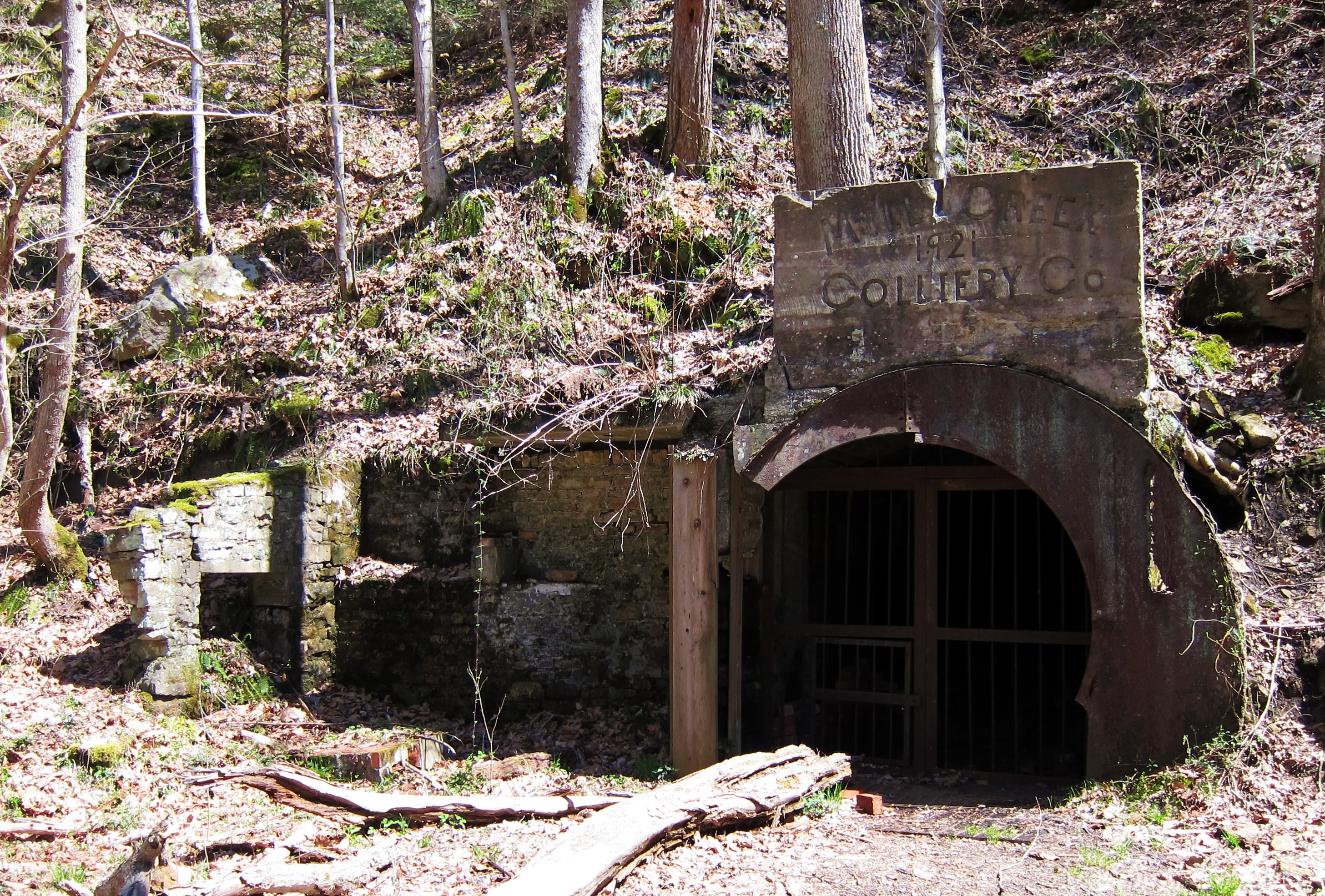
Because Pocahontas County is vast and rural, if you are unfamiliar with the area, it can seem daunting to undertake this challenge in a day as we did. However, doing so can happen if you plan your routes correctly. We entered the county from Route 39/55 outside of Richwood and were able to grab two along this road then loop across Route 150 for two more, finishing up with a stop just south of Slatyfork for our final cache to make our Bingo. Afterwards, we drove into the county seat of Marlinton to claim our geocoins and grab some lunch at the Greenbrier Grille and Lodge (definitely stop here!). We found a handful of other caches as well, but some of those deserve their own post so I won’t share them just yet. To help visualize the location of all eight caches, I’ve put together the map below that may help:

Map provided by Pocahontas County CVB (red dots added by me noting cache locations).
Before attempting this challenge, be sure to read the cache descriptions below as well as download the Bingo card:
Official Bingo Card
Birthplace of Rivers Geocache — Cherry
Birthplace of Rivers Geocache — Cranberry
Birthplace of Rivers Geocache — Elk
Birthplace of Rivers Geocache — Gauley
Birthplace of Rivers Geocache — Greenbrier
Birthplace of Rivers Geocache — Shavers
Birthplace of Rivers Geocache — Tygart
Birthplace of Rivers Geocache — Williams
If you have any questions about the challenge, feel free to send me an email at wvtravelqueen@gmail.com. You may also send me a Twitter message @WV_TravelQueen. And for more information on Pocahontas County and a guide to help plan your trip, be sure to visit Nature’s Mountain Playground online at www.pocahontascountywv.com.
Until next time,
Sara (WV Travel Queen)
Geocaching username: iheartmarshall